

Termed as a “super” El Niño or a “Godzilla” El Niño, the Pacific Ocean phenomenon that impacts global weather patterns has made a return, coinciding with elevated temperatures across many regions worldwide. July marked the hottest month on record for North America and Europe, with severe heatwaves causing numerous heat-related fatalities, depleting water sources, and scorching landscapes. Canada, in particular, witnessed over 4.1 million hectares of forests ablaze, enveloping vast areas in thick smoke that extended across the eastern part of the country and into parts of the northern U.S.
Although this intense summer period coincided with the re-emergence of El Niño, climate experts clarify that the phenomenon is not solely responsible for these extreme weather occurrences. However, they suggest that the synergy between El Niño and man-made climate change could exacerbate already intense weather conditions.
-
El Niño is here, and it’s already looking like it could be ‘mind-blowing’
-
Sunken Nazi warships are resurfacing as Europe’s drought deepens
“El Niño’s impacts are going to be large and broad across a huge area,” remarked Josh Willis, a climate scientist at NASA’s Jet Propulsion Laboratory.
“Get ready, because it’s going to be a wild ride.”
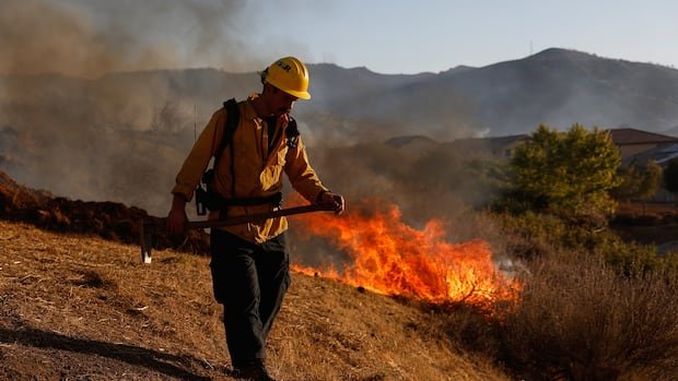
The UN’s weather agency is warning that the return of El Niño will make temperatures even higher this summer, which they also warn will exacerbate climate disasters, including drought and wildfires.
Reversing Weather Patterns
El Niños occur naturally every three to seven years, typically commencing in spring and persisting well into the following year, as ocean surface temperatures in the Pacific equatorial region rise at least 0.5 C above the norm.
Willis explained that this warming process heats the air above the ocean, causing a rearrangement of atmospheric conditions.
“It flips the weather upside down,” he described, leading to increased rainfall in dry